Fully respects the OGC's Simple Features for SQL standards
Extends the robust and well-known Java SQL H2 database
Here's a sample of what you can do with this language
-- Count White Walkers 500m around "The Wall"
SELECT COUNT(*) AS NB_WHITE_WALKERS
FROM CREATURES CREA, LOCATIONS LOC
WHERE
  ST_INTERSECTS(ST_BUFFER(LOC.THE_GEOM, 500), CREA.POSITION)
  AND LOC.NAME = 'THE WALL'
AND CREA.NAME = 'WHITE WALKERS';H2GIS requires no installation or administrator rights.
H2GIS runs on all operating systems (Windows, Mac, Linux, Android).
Weighing around 15mb, H2GIS is particularly well suited to mobile applications.
Passes over 1000 unit tests (and counting).

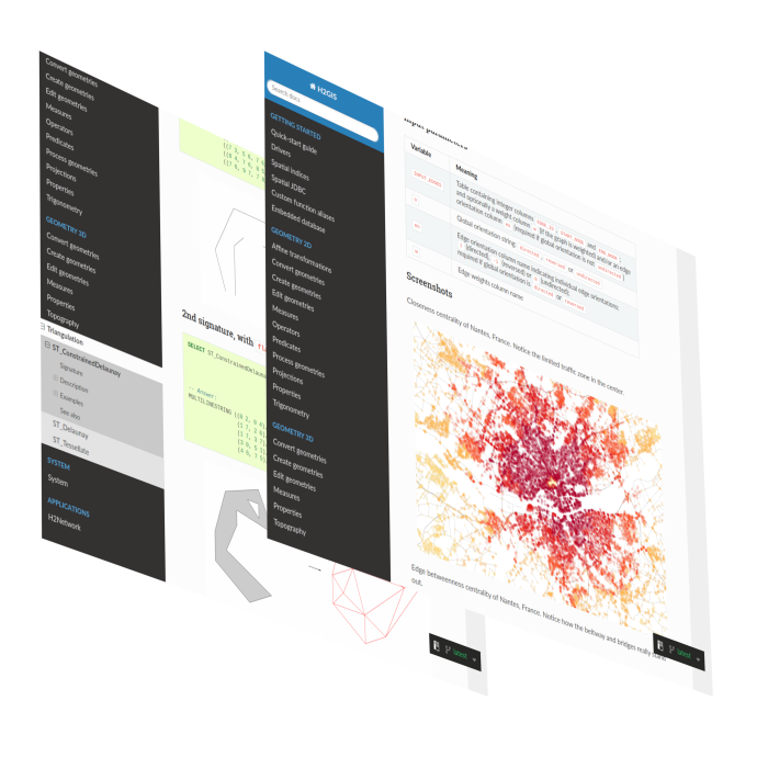
The user documentation for the latest version of H2GIS is available HERE (hosted on the ReadTheDocs platform).
For the former releases, you can download the following .zip files, in which you will find an HTML backup of the documentations:
v1.5 |
v1.4 |
v1.3.2 |
v1.3.1 |
v1.3 |
v1.2
→ To read the doc, in each of the .zip files, once unzipped, simply open the index.html file in your browser.
The developer documentation can be found on the Github wiki.
H2GIS is developed since 2014 by a team of French researchers and engineers from CNRS, experts in GIS and computer science.
The team has extensive experience in spatial analysis and algorithms. It is also a fervent defender of open science, promoting the development and use of open-source tools, the use of geospatial standards and the production of open data. H2GIS is fully in line with this dynamic.
H2GIS also benefits from the active support of the French UMRAE laboratory, which contributes to the code and documentation.
To contact the team, open a discussion or an issue on GitHub, or send us an email at info at h2gis dot org